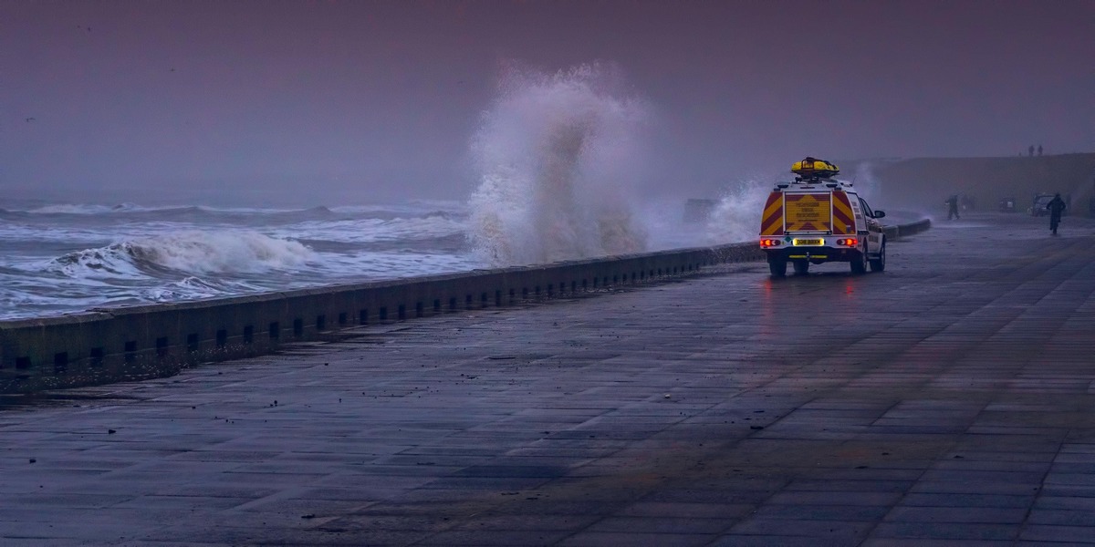
Beyond Embankments: The Future Of Flood Management

Q1. Could you start by giving us a brief overview of your professional background, particularly focusing on your expertise in the industry?
I am a Civil Engineering graduate from Punjab Engineering College, Chandigarh, with a postgraduate in Hydrology from the National University of Ireland, Galway, on the International Council of Overseas Students (ICOS) fellowship.
I have over 40 years of experience in the fields of hydrology and hydropower. I specialize in Deterministic and Stochastic Flood Modeling, flood forecasting and warning systems, Sedimentation, risk and disaster management, and urban drainage.
After working in the Government sector for more than 36 years, I was involved in a World Bank-funded DRIP Project for the rehabilitation and improvement of old Dams, as per the Dam Safety Act.
Currently, I am working as a Hydrology and Flood Management Expert in the urban planning of the World Bank/ADB-funded Amaravati Capital City Project.
Q2. What are the key trends in flood risk management and early warning systems, especially in the Wake of more frequent weather events.?
Flood events have increased significantly in recent times due to Climate Change and rapid urbanization. To meet these challenges, an urgent shift from the Structural to Integrated approach is required involving:
- Land use planning and Urban planning.
- Increased focus on Community involvement and Flood Preparedness
- Development and implementation of Early warning systems to provide timely alerts for the evacuation of life and property from vulnerable locations
- Deployment of Remote sensing and Geographic Information Systems (GIS) for flood mapping, monitoring, and damage assessment
- Design and construction of climate-resilient Infrastructure that can withstand the impacts of more frequent and intense floods
- Utilizing advanced modeling techniques to predict flood events and assess flood risks more accurately
- Enhancing coordination and collaboration among different stakeholders, including government agencies, local communities, and the private sector
- Strengthening policies and regulations related to flood risk management to ensure effective implementation and enforcement.
Q3. How are environmental and social impact considerations shifting the dynamics of new hydro project development?
While providing a source of clean energy, hydro project development has the following environmental and social impacts:
Environmental Impact
- Ecosystem Disruption
- Deforestation
- Altered River Flow
- Increased Flood Risk
Social Impacts
- Displacement and Resettlement
- Social Disruption
- Impact on Agriculture
- Water Security Issues
- Boomtown Effects.
These severe impacts are being met through the following:
- Environmental Impact Assessments
- Ecosystem Protection and Restoration
- Sediment Management
- Reduced Greenhouse Gas Emissions
- Water Quality Monitoring
- Fish-Friendly Turbines and Fish Ladders in Dams
- Stakeholder Engagement in Employment Opportunities
- Benefit Sharing among all stakeholders
- Cultural Heritage Protection
- Resettlement and Livelihood Restoration
- Promoting Sustainable Practices like rainwater harvesting
- Climate Change Adaptation in agricultural practices.
As a result of these measures, hydropower costs are increasing, but it is becoming more sustainable and people-friendly.
The resistance of the local community is reducing.
Hydropower is inflation-free in terms of fuel costs. So, these benefits can be extended to local people and can be incorporated into the tariff.
Q4. How is the integration of remote sensing, GIS, and real-time hydrological modeling changing the landscape of water resource management?
GIS and remote sensing are enabling rapid and cost-effective assessment of potential hydropower sites by analyzing topographic data, streamflow patterns, and other relevant parameters.
The integration of GIS and remote sensing with real-time hydrological models enables more accurate predictions of water availability for hydropower generation, Glacier Lake Floods, and disaster risk mitigation.
Q5. Which sectors (e.g., Infrastructure, agriculture, real estate, insurance) are emerging as key consumers of hydrology and flood modeling expertise?
The infrastructure sector is the first key consumer of hydrology & flood modeling expertise for planning. The insurance sector is the next key consumer of hydrology and flood modeling expertise for Risk Assessments.
Q6. What do you see as the key strengths of India's current approach to flood management and geo-hydrological planning?
India's current approach to flood management and geo-hydrological planning is multifaceted, encompassing both structural and non-structural measures, with a growing emphasis on integrated and proactive strategies.
While structural measures, such as dams and embankments, have traditionally been dominant, there's an increasing recognition of the need for non-structural approaches, including flood forecasting, land-use planning, and community participation.
Many initiatives, such as River Linking, Rainwater Harvesting, the National Water Policy, and the National Dam Safety Act, are part of the State policy and are legally binding.
Q7. If you were an investor looking at companies within the space, what critical question would you pose to their senior management?
The following critical questions shall be posed as an Investor:
- Are all legal compliances in place?
- Availability of water and its future use
- Balance the life of equipment and plants
- Geological and structural issues
- Power transmission and tariff issues
Comments
No comments yet. Be the first to comment!
